What we detect
Every angle reveals a different signal of change.
Change hides in plain sight. A film on the water, heat where there should be none, a scar in the vegetation, a shift in the air. No single view tells the whole story, so we bring them together.
 Spills & films
Films on water
Spills and slicks spreading on the water, seen through cloud and darkness.
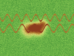
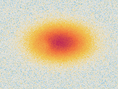
 Heat
Heat
Heat where there should be none
Unexpected heat, flagged around the clock.
 Land & vegetation
Scarred ground
Cleared vegetation and new access routes.
 Gas & emissions
Gas in the air
Leaks, flaring and emission plumes around a site.
Many signals. One verdict.